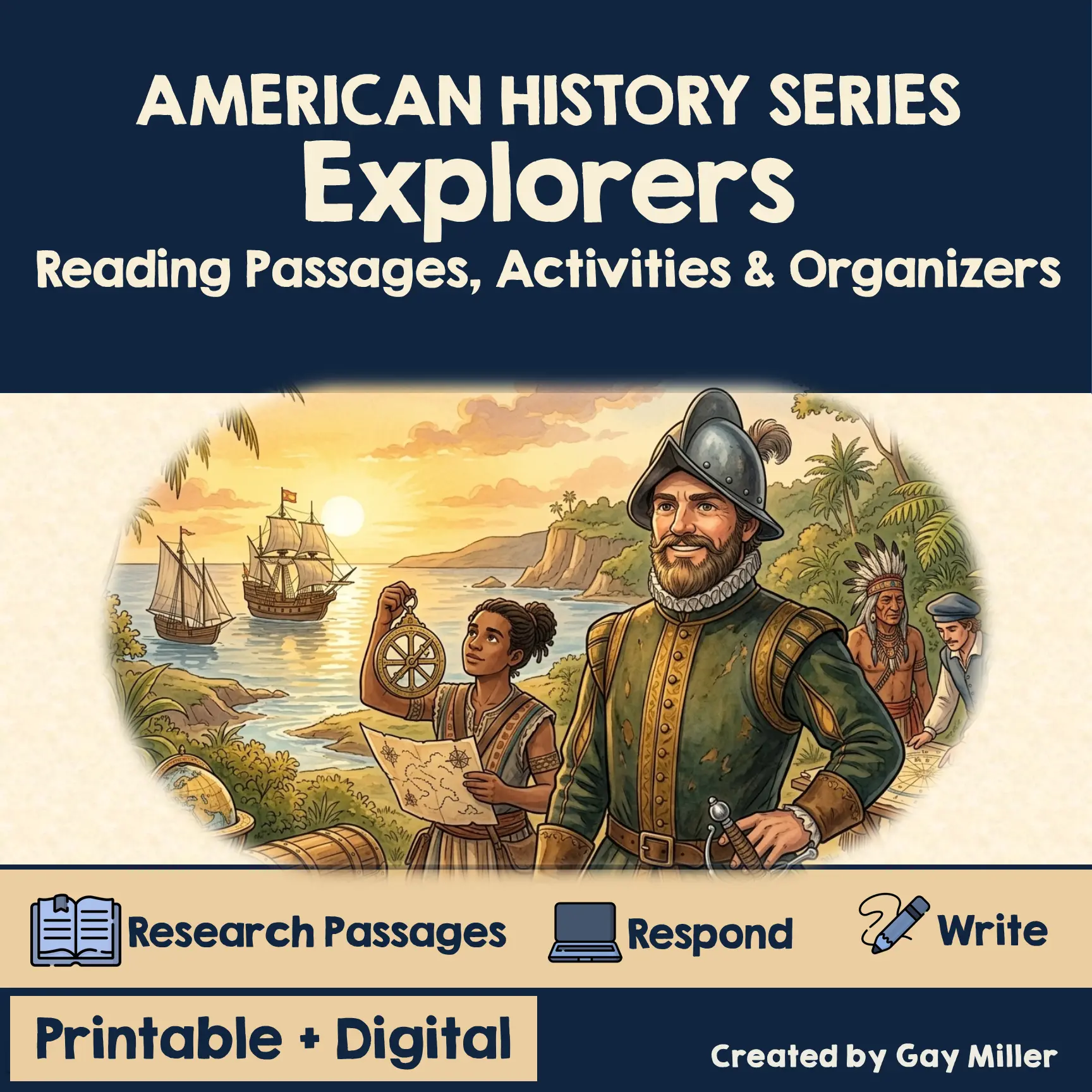
French Explorers
Fast Facts: French Explorers
French Explorers
- Time Period: 1500s–1600s
- Main Purpose: Find a Northwest Passage, expand trade
- Key Figures: Cartier, Champlain, La Salle
- Regions Explored: St. Lawrence River, Great Lakes, Mississippi River
- Result: France built a strong fur‑trade empire in North America
French Explorers at a Glance
- France searched for a Northwest Passage to Asia.
- Cartier explored the St. Lawrence River.
- Champlain founded Quebec and strengthened the fur trade.
- La Salle explored the Mississippi River and claimed Louisiana.
- French explorers built alliances with Native peoples.
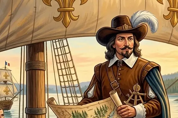
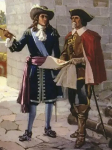
French Explorers
France sent explorers to North America during the 1500s and 1600s. Their main goal was to find a Northwest Passage, a water route through North America that would lead to Asia. Although the passage did not exist, French explorers made important discoveries, built alliances with Native peoples, and helped France gain land and influence.
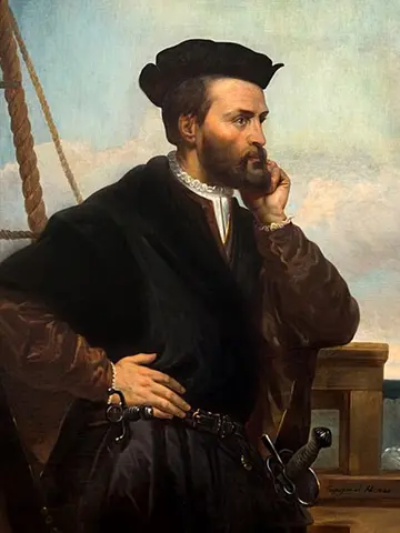
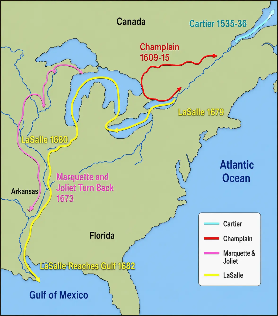
Jacques Cartier
Jacques Cartier explored the St. Lawrence River beginning in the 1530s. He claimed land for France and met Native peoples who helped guide him through the region. Cartier’s voyages helped France understand the geography of eastern Canada and opened the door for future French settlements.
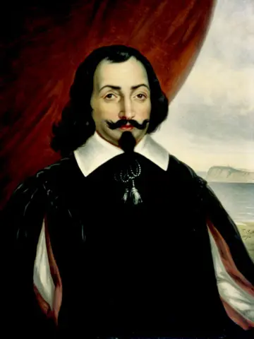
Samuel de Champlain
Samuel de Champlain explored the St. Lawrence River and the Great Lakes region. In 1608, he founded Quebec, which became the center of the French fur trade. Champlain built strong alliances with Native groups, especially the Huron, and worked closely with them in trade and exploration. Because of his leadership, he is often called the “Father of New France.”
Robert de La Salle
Robert de La Salle explored the Mississippi River from the Great Lakes to the Gulf of Mexico. He claimed the entire Mississippi River Valley for France and named it Louisiana in honor of King Louis XIV. His journey helped France expand its territory deep into North America.
Impact of French Exploration
French explorers focused on trade, especially the fur trade, rather than building large towns. They formed alliances with Native peoples, traded goods, and learned from Native guides. Their journeys helped France gain land and power in North America and shaped the culture of the region for many years.
Word Match
Drag the vocabulary words to their correct definitions!
Vocabulary Words
Definitions
Lesson 7 — French Explorers Quiz
Activities & Extensions
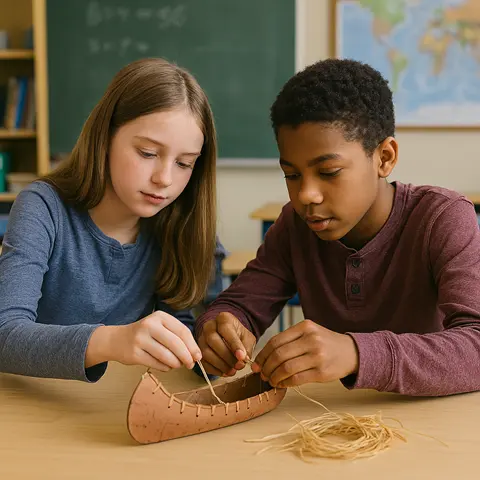
Students create a small canoe model to understand why French explorers and traders relied on Native-made canoes to travel the St. Lawrence River, Great Lakes, and Mississippi River. This hands-on craft helps students visualize how geography shaped French exploration.
How to Do It: Students shape a canoe from cardstock or thin cardboard, folding and taping the sides to form the curved shape. They add details such as drawn-on stitching or toothpick paddles, then label the canoe as a “Voyageur Canoe.”
Materials:
- Cardstock or thin cardboard
- Scissors
- Tape or glue
- Markers
- Toothpicks (optional paddles)
Optional Extension: Students compare a French canoe to a Spanish ship and explain why each group used different types of vessels.
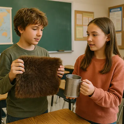
Students role-play a simple bartering activity to understand how French explorers and Native peoples traded goods. This simulation shows why alliances and fair trade were important to the French.
How to Do It: Students receive cards representing French trade goods (metal tools, cloth, beads) and Native goods (furs, food, canoes). In pairs, they negotiate trades, trying to get items they need. Afterward, students discuss what made a trade “fair.”
Materials:
- Printed trade cards
- Small baskets or envelopes (optional)
Optional Extension: Students write a reflection on how trade shaped relationships between the French and Native peoples.
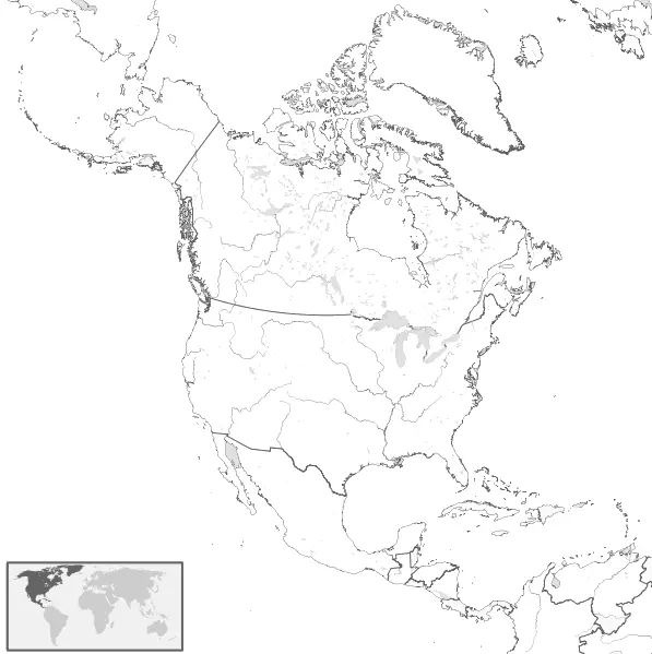
Students map the journeys of Cartier, Champlain, and La Salle to visualize how the French explored and claimed land in North America. This activity reinforces the importance of waterways in French exploration.
How to Do It: Students use a blank North America map to trace Cartier’s route along the St. Lawrence River, Champlain’s exploration of the Great Lakes, and La Salle’s journey down the Mississippi River. They label Quebec, Montreal, the Great Lakes, and Louisiana.
Materials:
- Blank North America map
- Colored pencils
- Ruler
Optional Extension: Students add symbols (canoe, fort, fur, fleur-de-lis) to represent each explorer’s achievements.
Early European Explorers Navigation
Explore the Full Early European Explorers Unit
This complete history unit includes research passages, organizers, writing tasks, quizzes, activities, and website research — all in printable and digital formats. Everything you need to teach Early European Explorers with confidence.
View the Full Unit on TPT